Product successfully added to your cart. View Cart
-
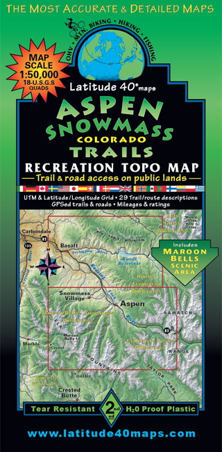
Aspen – Snowmass Trails
2nd Edition
Scale: 1:50,000$14.95Successfully Added to your Shopping CartAdding to Cart... -
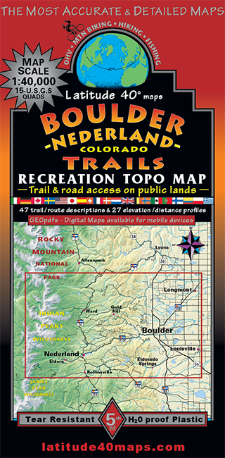
Boulder - Nederland Trails
5th Edition
Scale: 1:40,000$14.95Successfully Added to your Shopping CartAdding to Cart... -
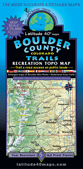
Boulder County Trails
5th Edition
Scale: 1:75,000$14.95Successfully Added to your Shopping CartAdding to Cart... -
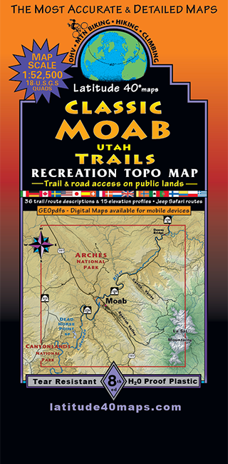
Classic Moab Trails
8th Edition
Scale: 1:52,500$14.95Successfully Added to your Shopping CartAdding to Cart... -
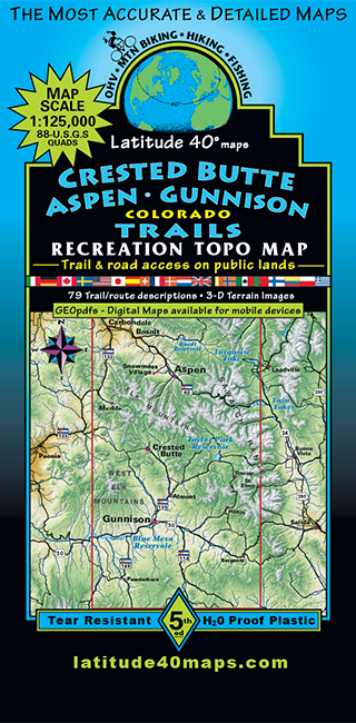
Crested Butte - Aspen - Gunnison Trails
5th Edition
Scale: 1:125,000$14.95Successfully Added to your Shopping CartAdding to Cart... -
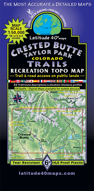
Crested Butte - Taylor Park Trails
6th Edition
Scale: 1:50,000$14.95Successfully Added to your Shopping CartAdding to Cart... -
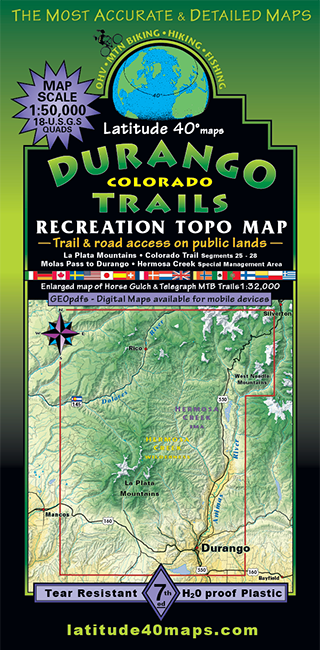
Durango Trails
7th Edition
Scale: 1:50,000$14.95Successfully Added to your Shopping CartAdding to Cart... -
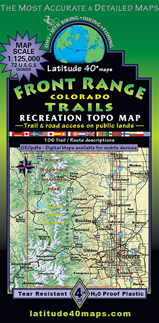
Front Range Trails
4th Edition
Scale: 1:125,000$14.95Successfully Added to your Shopping CartAdding to Cart... -
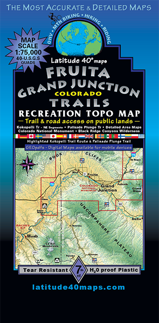
Fruita - Grand Junction Trails
7th Edition
Scale: 1:75,000$14.95Successfully Added to your Shopping CartAdding to Cart... -
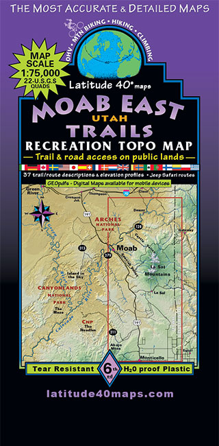
Moab East Trails
6th Edition
Scale: 1:75,000$14.95Successfully Added to your Shopping CartAdding to Cart... -
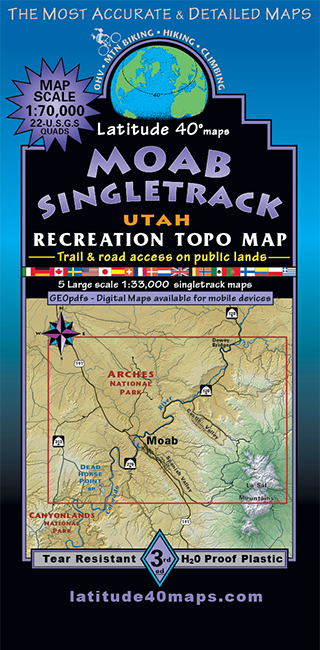
Moab Singletrack
3rd Edition
Scale: 1:70,000$14.95Successfully Added to your Shopping CartAdding to Cart... -
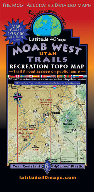
Moab West Trails
6th Edition
Scale: 1:75,000$14.95Successfully Added to your Shopping CartAdding to Cart... -
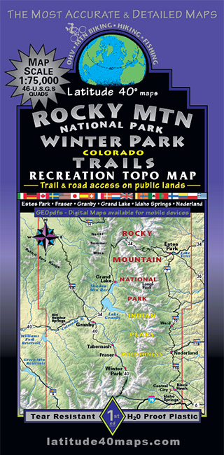
Rocky Mountain National Park - Winter Park
1st Edition
Scale: 1:75,000$14.95Successfully Added to your Shopping CartAdding to Cart... -
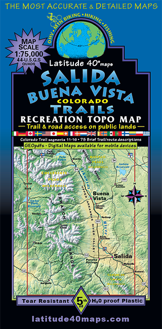
Salida - Buena Vista Trails
5th Edition
Scale: 1:75,000$14.95Successfully Added to your Shopping CartAdding to Cart... -
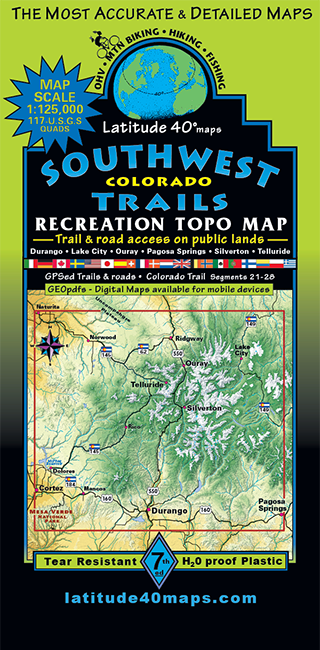
Southwest Colorado Trails
7th Edition
Scale: 1:125,000$14.95Successfully Added to your Shopping CartAdding to Cart... -
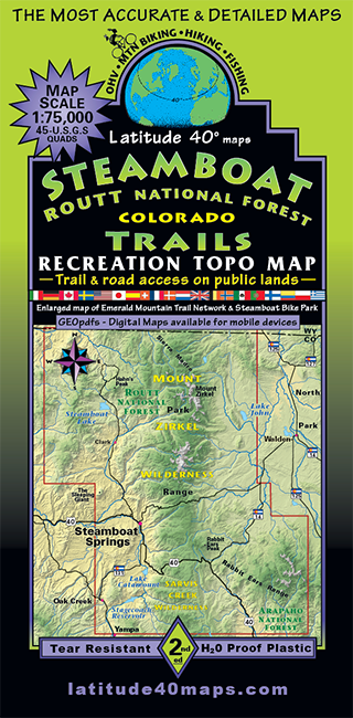
Steamboat - Routt National Forest Trails
2nd Edition
Scale: 1:75,000$14.95Successfully Added to your Shopping CartAdding to Cart... -
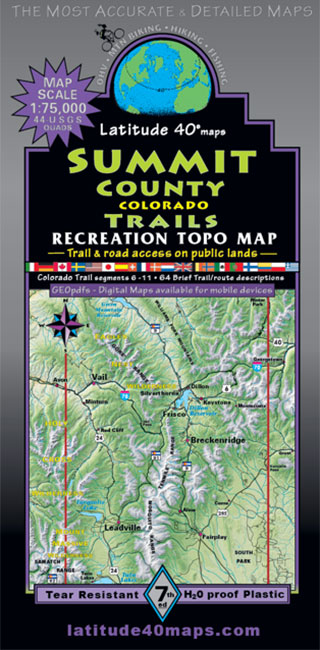
Summit County Trails
7th Edition
Scale: 1:75,000$14.95Successfully Added to your Shopping CartAdding to Cart... -
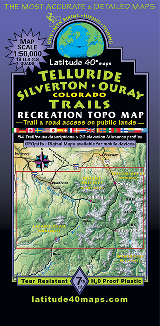
Telluride - Silverton - Ouray Trails
7th Edition
Scale: 1:50,000$14.95Successfully Added to your Shopping CartAdding to Cart... -
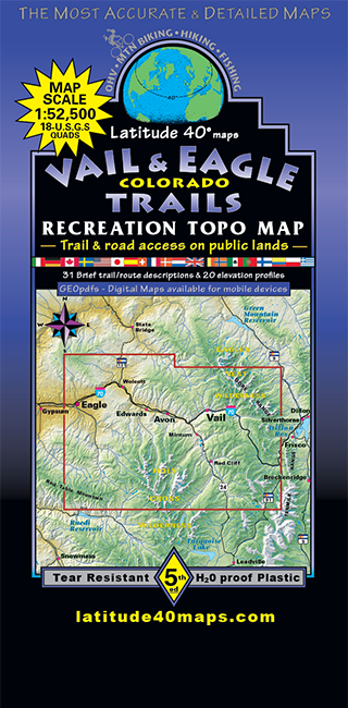
Vail & Eagle Trails
5th Edition
Scale: 1:52,500$14.95Successfully Added to your Shopping CartAdding to Cart...