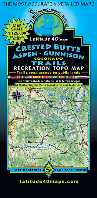
Crested Butte - Aspen - Gunnison Trails
$14.95
A one-time price of $14.95 will be added to your order.
- Description
For orders outside the U.S., please email us.
Also available as an Avenza Digital Map
Map Coverage covers all or part of 64 USGS 1:24,000 7.5-minute topographic maps- North - 13 miles north of Ruedi Reservoir
- South - Cochetopa Hill
- East - Mt. Elmo
- West - McClure Pass on Hwy. 133
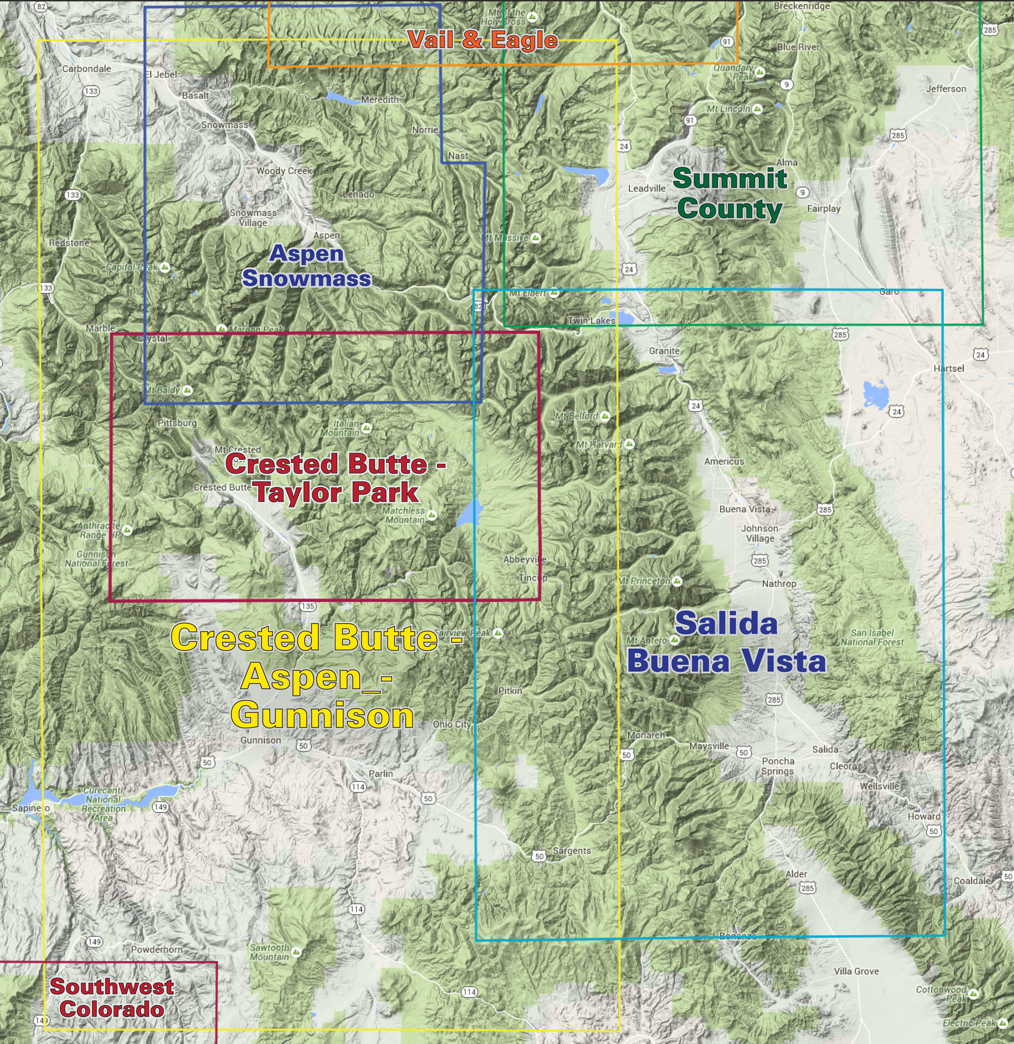
click to open locator
- 79 trail descriptions for hiking, biking, 4WD
- Computer generated elevation-tinted 3D, raster images showing the spatial relationships of the physical feature