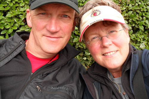
When you order a map from Latitude 40, you order from the company’s founders,
Mary and Grant Morrison.

Mary and Grant started Latitude 40 Maps in 1989 in the small mountain town of Nederland, Colorado. They had been cartographers since 1981, starting with college degrees in geography/geomorphology, specializing in cartography, the art and science of map-making.
Latitude 40 Maps is a hands-on company. Not only do Mary and Grant do the extensive research needed for each map, they personally design and build the maps and oversee the printing process. Hundreds of hours of research go into the production of each map, including ground-proofing and meeting with local agencies.
“We want people to get a good value for the money they spend on one of our maps, and we design a map that we would want to use. We’ll always go the extra 10 miles to make it right,” says Mary.


